War Memorial, Dunkirk
Introduction
The photograph on this page of War Memorial, Dunkirk by pam fray as part of the Geograph project.
The Geograph project started in 2005 with the aim of publishing, organising and preserving representative images for every square kilometre of Great Britain, Ireland and the Isle of Man.

There are currently over 7.5m images from over 14,400 individuals and you can help contribute to the project by visiting https://www.geograph.org.uk
War Memorial, Dunkirk
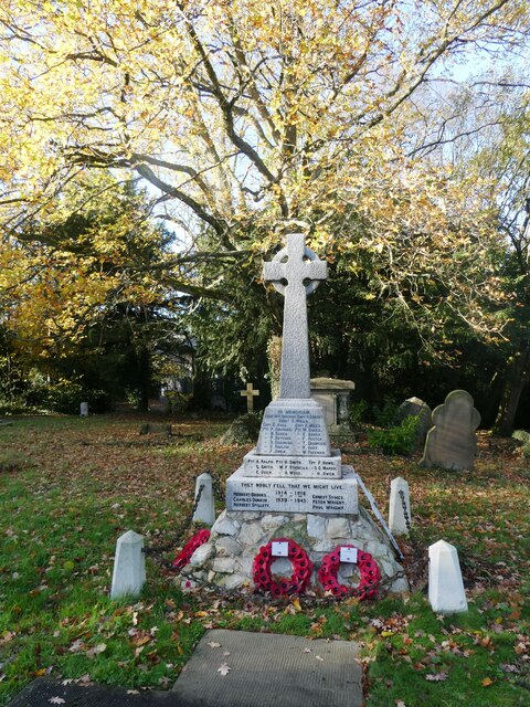
Image: © pam fray Taken: 25 Nov 2022
In the churchyard of the redundant Christ Church, converted to a private dwelling. Some of the churchyard is still accessible to the public.
Images are licensed for reuse under creativecommons.org/licenses/by-sa/2.0
Image Location
Latitude
51.291701
Longitude
0.97392