Former chapel at Oldstead
Introduction
The photograph on this page of Former chapel at Oldstead by Gordon Hatton as part of the Geograph project.
The Geograph project started in 2005 with the aim of publishing, organising and preserving representative images for every square kilometre of Great Britain, Ireland and the Isle of Man.

There are currently over 7.5m images from over 14,400 individuals and you can help contribute to the project by visiting https://www.geograph.org.uk
Former chapel at Oldstead
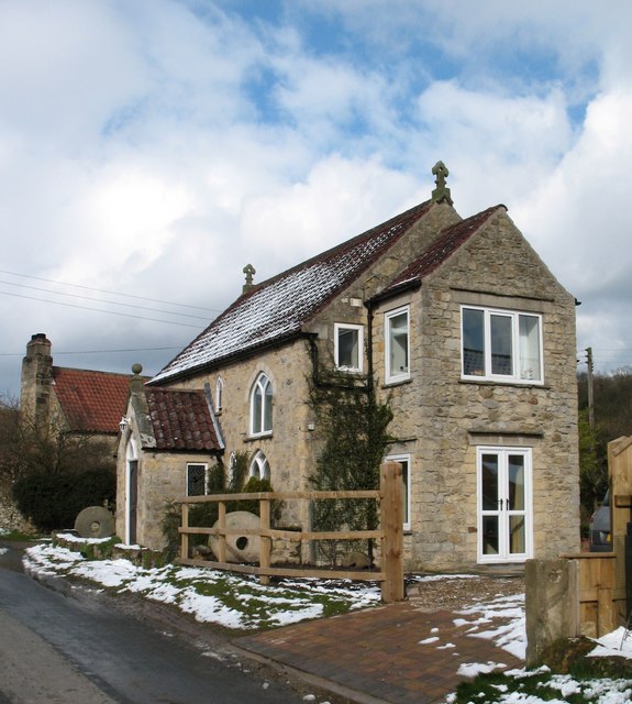
Image: © Gordon Hatton Taken: 23 Mar 2008
A converted chapel in this attractive small village. The 1893 map shows this as a Methodist chapel.
Images are licensed for reuse under creativecommons.org/licenses/by-sa/2.0
Image Location
Latitude
54.213802
Longitude
-1.187415