Weir, Cwmtillery Lake
Introduction
The photograph on this page of Weir, Cwmtillery Lake by M J Roscoe as part of the Geograph project.
The Geograph project started in 2005 with the aim of publishing, organising and preserving representative images for every square kilometre of Great Britain, Ireland and the Isle of Man.

There are currently over 7.5m images from over 14,400 individuals and you can help contribute to the project by visiting https://www.geograph.org.uk
Weir, Cwmtillery Lake
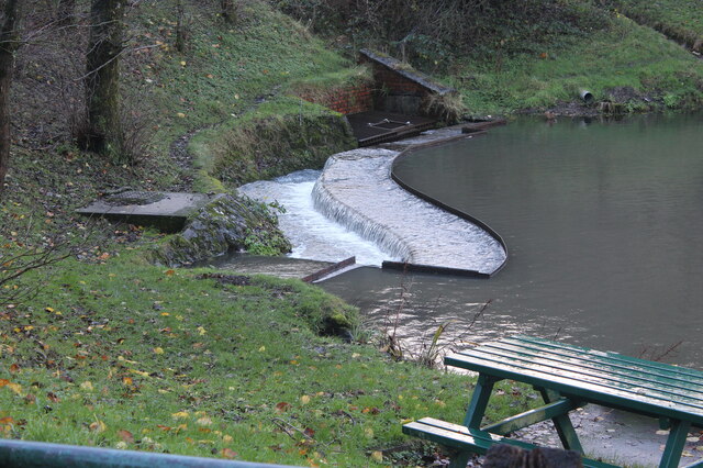
Image: © M J Roscoe Taken: 23 Nov 2022
Weir at end of southern lake, formerly a colliery reservoir, after heavy rain.
Images are licensed for reuse under creativecommons.org/licenses/by-sa/2.0
Image Location
Latitude
51.747932
Longitude
-3.134716