Whittingham Hall Farm
Introduction
The photograph on this page of Whittingham Hall Farm by Chris Heaton as part of the Geograph project.
The Geograph project started in 2005 with the aim of publishing, organising and preserving representative images for every square kilometre of Great Britain, Ireland and the Isle of Man.

There are currently over 7.5m images from over 14,400 individuals and you can help contribute to the project by visiting https://www.geograph.org.uk
Whittingham Hall Farm
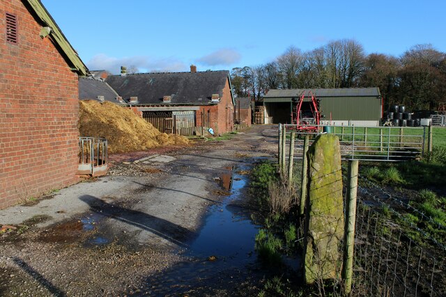
Image: © Chris Heaton Taken: 19 Nov 2022
Farmyard at Whittingham Hall, next door to the now demolished psychiatric hospital near Goosnargh.
Images are licensed for reuse under creativecommons.org/licenses/by-sa/2.0
Image Location
Latitude
53.818155
Longitude
-2.66616