The North Down Coastal Path at Swineley Bay
Introduction
The photograph on this page of The North Down Coastal Path at Swineley Bay by Rossographer as part of the Geograph project.
The Geograph project started in 2005 with the aim of publishing, organising and preserving representative images for every square kilometre of Great Britain, Ireland and the Isle of Man.

There are currently over 7.5m images from over 14,400 individuals and you can help contribute to the project by visiting https://www.geograph.org.uk
The North Down Coastal Path at Swineley Bay
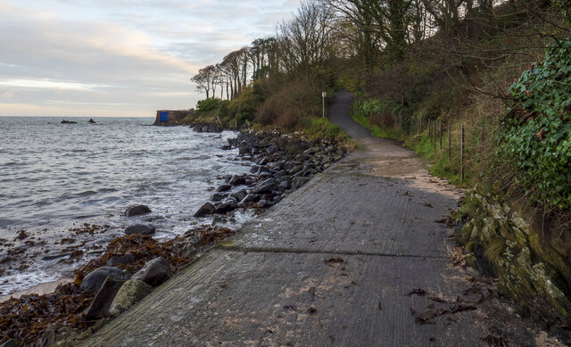
Image: © Rossographer Taken: 22 Nov 2022
The path at the east end of Swineley Bay. Here the path ends the beach on a large concrete section (usually very slippery so care must be taken) which then connects, via a short but very steep and uneven hill, with the man-made tarmac surface towards Carnalea.
Images are licensed for reuse under creativecommons.org/licenses/by-sa/2.0
Image Location
Latitude
54.667352
Longitude
-5.712434