St Albans
Introduction
The photograph on this page of St Albans by Peter Trimming as part of the Geograph project.
The Geograph project started in 2005 with the aim of publishing, organising and preserving representative images for every square kilometre of Great Britain, Ireland and the Isle of Man.

There are currently over 7.5m images from over 14,400 individuals and you can help contribute to the project by visiting https://www.geograph.org.uk
St Albans
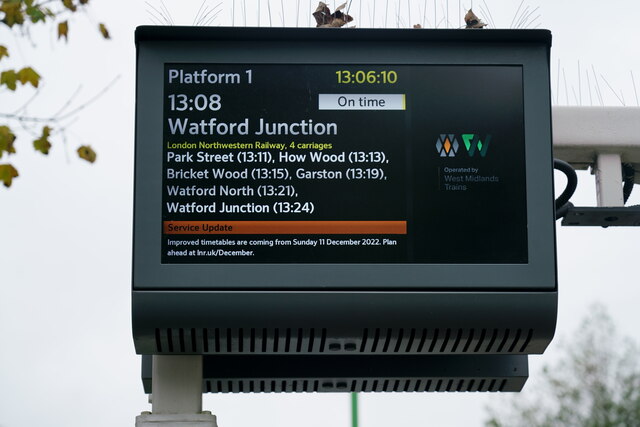
Image: © Peter Trimming Taken: 19 Nov 2022
Digital display at Abbey Station. I'm sure that the Abbey Line service will not be improved, as there is currently no passing loop between St Albans Abbey and Watford Junction.
Images are licensed for reuse under creativecommons.org/licenses/by-sa/2.0
Image Location
Latitude
51.744513
Longitude
-0.342374