Setted path to Spring Edge
Introduction
The photograph on this page of Setted path to Spring Edge by Stephen Craven as part of the Geograph project.
The Geograph project started in 2005 with the aim of publishing, organising and preserving representative images for every square kilometre of Great Britain, Ireland and the Isle of Man.

There are currently over 7.5m images from over 14,400 individuals and you can help contribute to the project by visiting https://www.geograph.org.uk
Setted path to Spring Edge
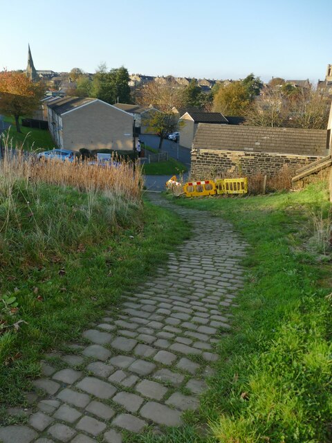
Image: © Stephen Craven Taken: 12 Nov 2022
The path, shown as a public right of way on the OS map, probably dates back to the 19th century and connects the streets of housing accessed from Savile Park with those at a lower level in the Spring Edge area accessed from King Cross.
Images are licensed for reuse under creativecommons.org/licenses/by-sa/2.0
Image Location
Latitude
53.713707
Longitude
-1.878903