Former railway bridge on Hopwood Lane
Introduction
The photograph on this page of Former railway bridge on Hopwood Lane by Stephen Craven as part of the Geograph project.
The Geograph project started in 2005 with the aim of publishing, organising and preserving representative images for every square kilometre of Great Britain, Ireland and the Isle of Man.

There are currently over 7.5m images from over 14,400 individuals and you can help contribute to the project by visiting https://www.geograph.org.uk
Former railway bridge on Hopwood Lane
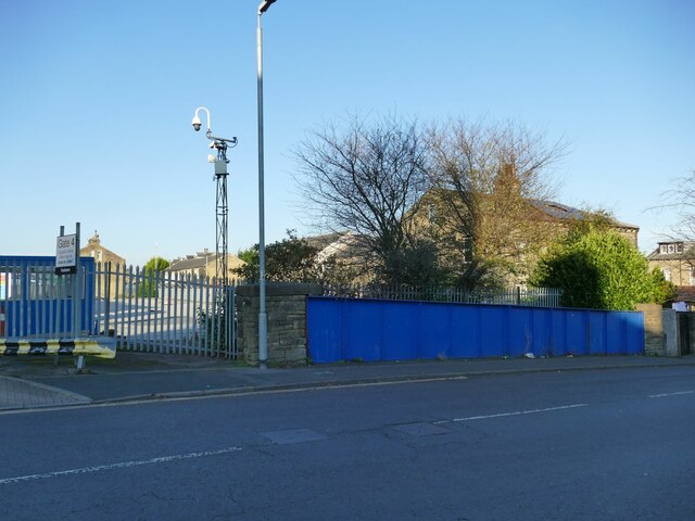
Image: © Stephen Craven Taken: 12 Nov 2022
The bridge took the road over the lines leading into St Paul’s high level station, which was only open to passengers from 1890 to 1917 although it continued to see some freight traffic until 1960. It was a skew bridge, i.e. not at right angles to the line below, which ran through what is now the McVitie’s site to the left.
Images are licensed for reuse under creativecommons.org/licenses/by-sa/2.0
Image Location
Latitude
53.720452
Longitude
-1.882975