Old Milestone, Horsley
Introduction
The photograph on this page of Old Milestone, Horsley by Mr Red as part of the Geograph project.
The Geograph project started in 2005 with the aim of publishing, organising and preserving representative images for every square kilometre of Great Britain, Ireland and the Isle of Man.

There are currently over 7.5m images from over 14,400 individuals and you can help contribute to the project by visiting https://www.geograph.org.uk
Old Milestone, Horsley
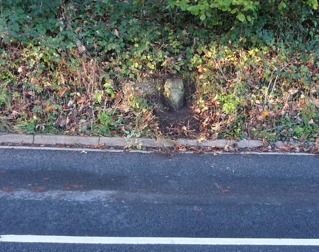
Image: © Mr Red Taken: 22 Nov 2022
About ⅕ mile from the village wayside cross (and war memorial) on the Western side of Horsley Hill. Triangular with evidence of a plate in the RH face and features that supported chevron plate similar to: Image Inscription (was): Nailsworth 1 // Wotton under Edge 7 Milestone Society ID: GL_WENW07
Images are licensed for reuse under creativecommons.org/licenses/by-sa/2.0
Image Location
Latitude
51.682028
Longitude
-2.231229