32, Shorncliffe Crescent
Introduction
The photograph on this page of 32, Shorncliffe Crescent by John Baker as part of the Geograph project.
The Geograph project started in 2005 with the aim of publishing, organising and preserving representative images for every square kilometre of Great Britain, Ireland and the Isle of Man.

There are currently over 7.5m images from over 14,400 individuals and you can help contribute to the project by visiting https://www.geograph.org.uk
32, Shorncliffe Crescent
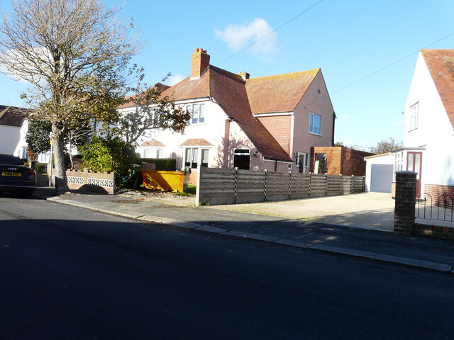
Image: © John Baker Taken: 9 Nov 2022
Planning permission has been approved, with conditions, by Folkestone and Hythe District Council under application number 22/1282/FH for the “erection of first floor extension to front of property”. The work appears to have begun.
Images are licensed for reuse under creativecommons.org/licenses/by-sa/2.0
Image Location
Latitude
51.083345
Longitude
1.147178