A390, Penpillick
Introduction
The photograph on this page of A390, Penpillick by David Dixon as part of the Geograph project.
The Geograph project started in 2005 with the aim of publishing, organising and preserving representative images for every square kilometre of Great Britain, Ireland and the Isle of Man.

There are currently over 7.5m images from over 14,400 individuals and you can help contribute to the project by visiting https://www.geograph.org.uk
A390, Penpillick
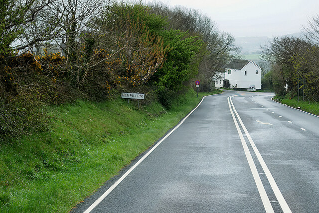
Image: © David Dixon Taken: 12 Apr 2022
Penpillick is a hamlet in Cornwall, situated about two miles north of St Blazey on the A390 road.
Images are licensed for reuse under creativecommons.org/licenses/by-sa/2.0
Image Location


Leaflet Map data © OpenStreetMap
Latitude
50.378786
Longitude
-4.701509