Winton: former Lloyd?s Bank
Introduction
The photograph on this page of Winton: former Lloyd?s Bank by Chris Downer as part of the Geograph project.
The Geograph project started in 2005 with the aim of publishing, organising and preserving representative images for every square kilometre of Great Britain, Ireland and the Isle of Man.

There are currently over 7.5m images from over 14,400 individuals and you can help contribute to the project by visiting https://www.geograph.org.uk
Winton: former Lloyd?s Bank
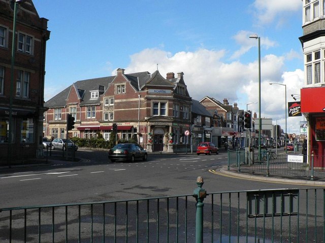
Image: © Chris Downer Taken: 23 Mar 2008
The former Lloyd’s, along with the NatWest to the left, give this busy road junction in Winton the name of Image – although the Barclays is at the next junction south and the HSBC farther north. The Lloyd’s closed when it merged with TSB and the latter was retained almost opposite. The old bank became a restaurant ironically called Barings before being taken over by the present Indian restaurant.
Images are licensed for reuse under creativecommons.org/licenses/by-sa/2.0
Image Location


Leaflet Map data © OpenStreetMap
Latitude
50.740328
Longitude
-1.879629