Goodyers End Lane, Bedworth Heath
Introduction
The photograph on this page of Goodyers End Lane, Bedworth Heath by Stephen McKay as part of the Geograph project.
The Geograph project started in 2005 with the aim of publishing, organising and preserving representative images for every square kilometre of Great Britain, Ireland and the Isle of Man.

There are currently over 7.5m images from over 14,400 individuals and you can help contribute to the project by visiting https://www.geograph.org.uk
Goodyers End Lane, Bedworth Heath
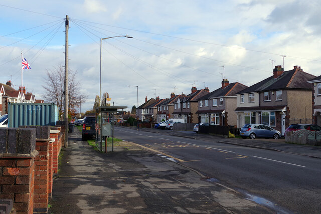
Image: © Stephen McKay Taken: 18 Nov 2022
Looking along Goodyers End Lane from close to the junction with Dark Lane. Despite the bus shelter and bus stop, regular buses do not now use this road.
Images are licensed for reuse under creativecommons.org/licenses/by-sa/2.0
Image Location
Latitude
52.469256
Longitude
-1.498868