Walton Dam
Introduction
The photograph on this page of Walton Dam by Bill Boaden as part of the Geograph project.
The Geograph project started in 2005 with the aim of publishing, organising and preserving representative images for every square kilometre of Great Britain, Ireland and the Isle of Man.

There are currently over 7.5m images from over 14,400 individuals and you can help contribute to the project by visiting https://www.geograph.org.uk
Walton Dam
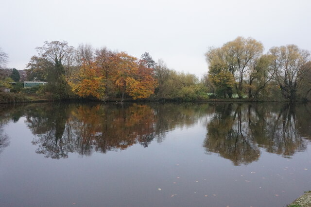
Image: © Bill Boaden Taken: 13 Nov 2022
A reservoir constructed to power a former corn mill. It is now a pleasant enclave amongst a lot of new housing in Walton.
Images are licensed for reuse under creativecommons.org/licenses/by-sa/2.0
Image Location
Latitude
53.229223
Longitude
-1.456938