St Luke's Road, Holbrooks
Introduction
The photograph on this page of St Luke's Road, Holbrooks by Stephen McKay as part of the Geograph project.
The Geograph project started in 2005 with the aim of publishing, organising and preserving representative images for every square kilometre of Great Britain, Ireland and the Isle of Man.

There are currently over 7.5m images from over 14,400 individuals and you can help contribute to the project by visiting https://www.geograph.org.uk
St Luke's Road, Holbrooks
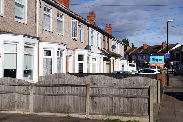
Image: © Stephen McKay Taken: 18 Nov 2022
The terraced houses on the left are caught by a burst of sunshine; one of them has recently been sold through Yopa. The 'no through road' sign is here because vehicular access to Hen Lane is blocked off.
Images are licensed for reuse under creativecommons.org/licenses/by-sa/2.0
Image Location
Latitude
52.445367
Longitude
-1.504877