Little Dawley Rivet Benchmark
Introduction
The photograph on this page of Little Dawley Rivet Benchmark by Anthony Rowley as part of the Geograph project.
The Geograph project started in 2005 with the aim of publishing, organising and preserving representative images for every square kilometre of Great Britain, Ireland and the Isle of Man.

There are currently over 7.5m images from over 14,400 individuals and you can help contribute to the project by visiting https://www.geograph.org.uk
Little Dawley Rivet Benchmark
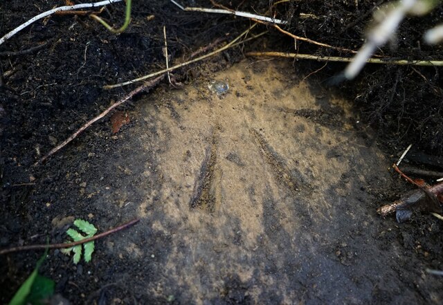
Image: © Anthony Rowley Taken: 19 Nov 2022
The Ordnance Survey Rivet Benchmark set into a stone off Holly Road, Little Dawley, Telford. The stone sits off a footpath that links Holly Road to Gravel Leasows.
Images are licensed for reuse under creativecommons.org/licenses/by-sa/2.0
Image Location
Latitude
52.650755
Longitude
-2.473909