Derwent Reservoir - Birchinlee Village Marker
Introduction
The photograph on this page of Derwent Reservoir - Birchinlee Village Marker by Alan Heardman as part of the Geograph project.
The Geograph project started in 2005 with the aim of publishing, organising and preserving representative images for every square kilometre of Great Britain, Ireland and the Isle of Man.

There are currently over 7.5m images from over 14,400 individuals and you can help contribute to the project by visiting https://www.geograph.org.uk
Derwent Reservoir - Birchinlee Village Marker
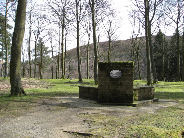
Image: © Alan Heardman Taken: 19 Mar 2008
Birchinlee village was built by the Derwent Valley Water Board to accommodate navvies who built the Derwent and Howden Dams during the early part of the 20th century.
Images are licensed for reuse under creativecommons.org/licenses/by-sa/2.0
Image Location
Latitude
53.4204
Longitude
-1.750783