Rugby-Saint Peters Road
Introduction
The photograph on this page of Rugby-Saint Peters Road by Ian Rob as part of the Geograph project.
The Geograph project started in 2005 with the aim of publishing, organising and preserving representative images for every square kilometre of Great Britain, Ireland and the Isle of Man.

There are currently over 7.5m images from over 14,400 individuals and you can help contribute to the project by visiting https://www.geograph.org.uk
Rugby-Saint Peters Road
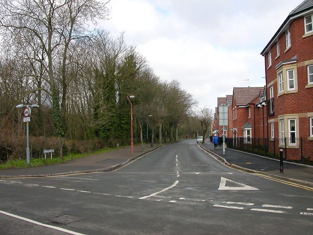
Image: © Ian Rob Taken: 23 Mar 2008
On the right, the new housing development on the site of the Lodge Plug Factory. The left side of the road is the wooded cutting of the Great Central Line.
Images are licensed for reuse under creativecommons.org/licenses/by-sa/2.0
Image Location


Leaflet Map data © OpenStreetMap
Latitude
52.369746
Longitude
-1.24678