Toll Wood
Introduction
The photograph on this page of Toll Wood by Simon Carey as part of the Geograph project.
The Geograph project started in 2005 with the aim of publishing, organising and preserving representative images for every square kilometre of Great Britain, Ireland and the Isle of Man.

There are currently over 7.5m images from over 14,400 individuals and you can help contribute to the project by visiting https://www.geograph.org.uk
Toll Wood
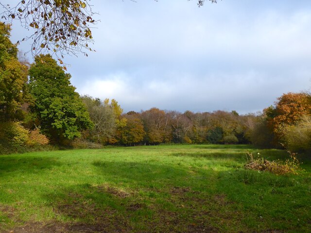
Image: © Simon Carey Taken: 12 Nov 2022
On Warbleton's 1838 tithe map this current field was Toll Wood, the woodland that is marked on the modern map by that name was called Great Dean, Little Dean and Dean Toll. By the 1873 OS map this area had been grubbed and the name applied to the surrounding woods.
Images are licensed for reuse under creativecommons.org/licenses/by-sa/2.0
Image Location
Latitude
50.938186
Longitude
0.30261