View towards Ballinger Bottom
Introduction
The photograph on this page of View towards Ballinger Bottom by Peter S as part of the Geograph project.
The Geograph project started in 2005 with the aim of publishing, organising and preserving representative images for every square kilometre of Great Britain, Ireland and the Isle of Man.

There are currently over 7.5m images from over 14,400 individuals and you can help contribute to the project by visiting https://www.geograph.org.uk
View towards Ballinger Bottom
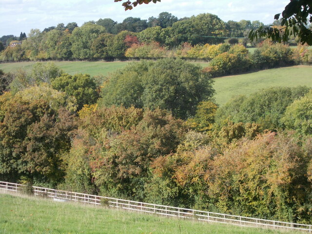
Image: © Peter S Taken: 9 Oct 2022
On part of the Chiltern Link route. The fence shown in the foreground has a path running alongside it, visible from here but not from the valley floor from where it is obscured by trees. Likewise, the valley bottom cannot be seen from here for the same reason.
Images are licensed for reuse under creativecommons.org/licenses/by-sa/2.0
Image Location


Leaflet Map data © OpenStreetMap
Latitude
51.720215
Longitude
-0.673632