Strathendrick Golf Club
Introduction
The photograph on this page of Strathendrick Golf Club by Pete Marrison as part of the Geograph project.
The Geograph project started in 2005 with the aim of publishing, organising and preserving representative images for every square kilometre of Great Britain, Ireland and the Isle of Man.

There are currently over 7.5m images from over 14,400 individuals and you can help contribute to the project by visiting https://www.geograph.org.uk
Strathendrick Golf Club
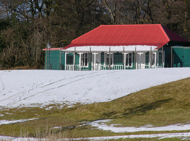
Image: © Pete Marrison Taken: 28 Feb 2010
The clubhouse of the 9 hole Strathendrick Golf Club. It is a grade C listed building, erected in 1901 by the Duke of Montrose.
Images are licensed for reuse under creativecommons.org/licenses/by-sa/2.0
Image Location
Latitude
56.057319
Longitude
-4.450908