Old boundary wall at St Davids
Introduction
The photograph on this page of Old boundary wall at St Davids by Alan Reid as part of the Geograph project.
The Geograph project started in 2005 with the aim of publishing, organising and preserving representative images for every square kilometre of Great Britain, Ireland and the Isle of Man.

There are currently over 7.5m images from over 14,400 individuals and you can help contribute to the project by visiting https://www.geograph.org.uk
Old boundary wall at St Davids
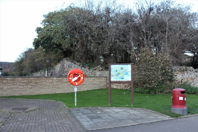
Image: © Alan Reid Taken: 12 Nov 2022
The southwest extent of the policies of Donibristle House or Dunybirsal as it was spelt in the mid 18th century.
Images are licensed for reuse under creativecommons.org/licenses/by-sa/2.0
Image Location
Latitude
56.027903
Longitude
-3.367058