Looking along Branstock Beck through the SE parapet of Millbrooke Bridge
Introduction
The photograph on this page of Looking along Branstock Beck through the SE parapet of Millbrooke Bridge by Roger Templeman as part of the Geograph project.
The Geograph project started in 2005 with the aim of publishing, organising and preserving representative images for every square kilometre of Great Britain, Ireland and the Isle of Man.

There are currently over 7.5m images from over 14,400 individuals and you can help contribute to the project by visiting https://www.geograph.org.uk
Looking along Branstock Beck through the SE parapet of Millbrooke Bridge
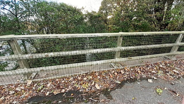
Image: © Roger Templeman Taken: 14 Nov 2022
The bridge takes the B6264 over the beck and the M6. Before the construction of the M6 a bridge, Drawdykes Bridge, here had a parapet with an Ordnance Survey benchmark levelled at 57.183 feet above Liverpool Datum in 1844 during the Liverpool to North Shields 1GL Survey. The surveyor's description was 'No. 10. Bolt in South pier of Drawdikes Bridge ; 1.79 ft. above surface'
Images are licensed for reuse under creativecommons.org/licenses/by-sa/2.0
Image Location
Latitude
54.919334
Longitude
-2.907333