A46 tunnel, Lower Swainswick
Introduction
The photograph on this page of A46 tunnel, Lower Swainswick by Robin Webster as part of the Geograph project.
The Geograph project started in 2005 with the aim of publishing, organising and preserving representative images for every square kilometre of Great Britain, Ireland and the Isle of Man.

There are currently over 7.5m images from over 14,400 individuals and you can help contribute to the project by visiting https://www.geograph.org.uk
A46 tunnel, Lower Swainswick
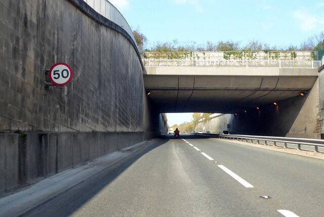
Image: © Robin Webster Taken: 13 Nov 2022
Cut and cover construction, about 70 m long.
Images are licensed for reuse under creativecommons.org/licenses/by-sa/2.0
Image Location
Latitude
51.402708
Longitude
-2.338927