Field and woodland south of Rowen
Introduction
The photograph on this page of Field and woodland south of Rowen by Andy Waddington as part of the Geograph project.
The Geograph project started in 2005 with the aim of publishing, organising and preserving representative images for every square kilometre of Great Britain, Ireland and the Isle of Man.

There are currently over 7.5m images from over 14,400 individuals and you can help contribute to the project by visiting https://www.geograph.org.uk
Field and woodland south of Rowen
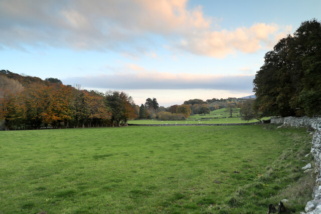
Image: © Andy Waddington Taken: 12 Nov 2022
A walled public footpath heads south from Rowen for destinations such as Coed Gorswen National Nature Reserve, Tyddyn Bach and Tyddyn Wern. This view looks over its eastern wall into pasture surrounded by autumnal woodland.
Images are licensed for reuse under creativecommons.org/licenses/by-sa/2.0
Image Location
Latitude
53.228619
Longitude
-3.859774