Ripon, Magdalen Road
Introduction
The photograph on this page of Ripon, Magdalen Road by Mel Towler as part of the Geograph project.
The Geograph project started in 2005 with the aim of publishing, organising and preserving representative images for every square kilometre of Great Britain, Ireland and the Isle of Man.

There are currently over 7.5m images from over 14,400 individuals and you can help contribute to the project by visiting https://www.geograph.org.uk
Ripon, Magdalen Road
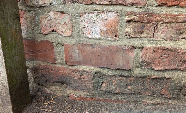
Image: © Mel Towler Taken: 28 Sep 2022
The remains of 2 legs of a benchmark arrowhead can be seen to the right of the wooden post, and on the 2nd course of bricks.
Images are licensed for reuse under creativecommons.org/licenses/by-sa/2.0
Image Location


Leaflet Map data © OpenStreetMap
Latitude
54.139811
Longitude
-1.517655