Track near Doune Ponds Nature Reserve
Introduction
The photograph on this page of Track near Doune Ponds Nature Reserve by Alan O'Dowd as part of the Geograph project.
The Geograph project started in 2005 with the aim of publishing, organising and preserving representative images for every square kilometre of Great Britain, Ireland and the Isle of Man.

There are currently over 7.5m images from over 14,400 individuals and you can help contribute to the project by visiting https://www.geograph.org.uk
Track near Doune Ponds Nature Reserve
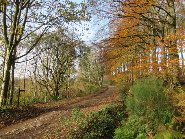
Image: © Alan O'Dowd Taken: 13 Nov 2022
This track leads eventually to the farms of Mansfield and Wester Lundie. Some modern housing developments in the town of Doune can be seen through the trees on the left.
Images are licensed for reuse under creativecommons.org/licenses/by-sa/2.0
Image Location
Latitude
56.194447
Longitude
-4.05264