Roadside marker, Belton Lane
Introduction
The photograph on this page of Roadside marker, Belton Lane by Jonathan Thacker as part of the Geograph project.
The Geograph project started in 2005 with the aim of publishing, organising and preserving representative images for every square kilometre of Great Britain, Ireland and the Isle of Man.

There are currently over 7.5m images from over 14,400 individuals and you can help contribute to the project by visiting https://www.geograph.org.uk
Roadside marker, Belton Lane
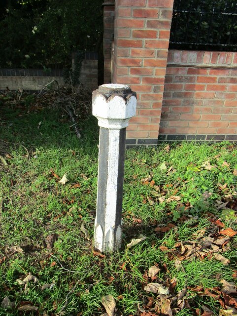
Image: © Jonathan Thacker Taken: 9 Nov 2022
I'm not sure what this is. The inscription on it was so thickly covered in paint as to be unreadable. I suspect it is an old boundary marker for the Borough of Grantham and the parish of Londonthorpe and Harrowby Without.
Images are licensed for reuse under creativecommons.org/licenses/by-sa/2.0
Image Location
Latitude
52.926349
Longitude
-0.627696