Chancery Lane, Chapel End
Introduction
The photograph on this page of Chancery Lane, Chapel End by Stephen McKay as part of the Geograph project.
The Geograph project started in 2005 with the aim of publishing, organising and preserving representative images for every square kilometre of Great Britain, Ireland and the Isle of Man.

There are currently over 7.5m images from over 14,400 individuals and you can help contribute to the project by visiting https://www.geograph.org.uk
Chancery Lane, Chapel End
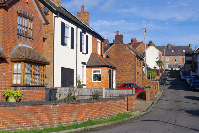
Image: © Stephen McKay Taken: 9 Nov 2022
Chancery Lane forms a crescent to the south of Coleshill Road. This is the southernmost point.
Images are licensed for reuse under creativecommons.org/licenses/by-sa/2.0
Image Location
Latitude
52.536052
Longitude
-1.520813