A35 Tebourba Way
Introduction
The photograph on this page of A35 Tebourba Way by Robin Webster as part of the Geograph project.
The Geograph project started in 2005 with the aim of publishing, organising and preserving representative images for every square kilometre of Great Britain, Ireland and the Isle of Man.

There are currently over 7.5m images from over 14,400 individuals and you can help contribute to the project by visiting https://www.geograph.org.uk
A35 Tebourba Way
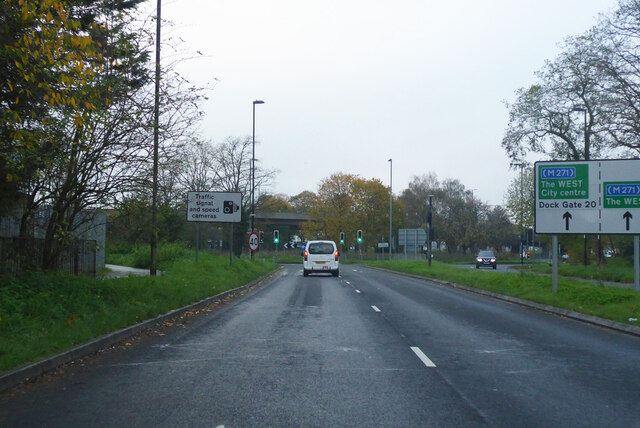
Image: © Robin Webster Taken: 13 Nov 2022
Approaching a roundabout under the A33 Millbrook Flyover.
Images are licensed for reuse under creativecommons.org/licenses/by-sa/2.0
Image Location
Latitude
50.917712
Longitude
-1.45539