Cavendish Road
Introduction
The photograph on this page of Cavendish Road by Ian Capper as part of the Geograph project.
The Geograph project started in 2005 with the aim of publishing, organising and preserving representative images for every square kilometre of Great Britain, Ireland and the Isle of Man.

There are currently over 7.5m images from over 14,400 individuals and you can help contribute to the project by visiting https://www.geograph.org.uk
Cavendish Road
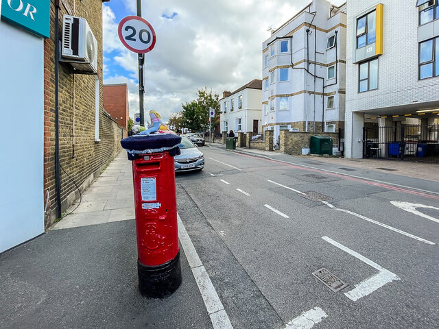
Image: © Ian Capper Taken: 7 Oct 2022
Road off Colliers Wood High Street, development of which started in the late 19th Century. For a close up of the postbox on the left see Image
Images are licensed for reuse under creativecommons.org/licenses/by-sa/2.0
Image Location
Latitude
51.41883
Longitude
-0.176808