Mongeham Road
Introduction
The photograph on this page of Mongeham Road by John Baker as part of the Geograph project.
The Geograph project started in 2005 with the aim of publishing, organising and preserving representative images for every square kilometre of Great Britain, Ireland and the Isle of Man.

There are currently over 7.5m images from over 14,400 individuals and you can help contribute to the project by visiting https://www.geograph.org.uk
Mongeham Road
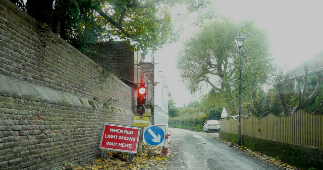
Image: © John Baker Taken: 23 Oct 2022
Planning permission has been approved by Dover District Council under application number DOV/18/00764 for the “erection of 35 houses, formation of new access road, associated landscaping including demolition of Stalco Engineering Buildings, former squash courts and 126, Mongeham Road. Off-site highway works to include a pedestrian build-out”. The development will also include this Image, which, here, is partly hidden by scaffolding and plastic sheeting.
Images are licensed for reuse under creativecommons.org/licenses/by-sa/2.0
Image Location
Latitude
51.21438
Longitude
1.364351