Development land, Sandwich Road (A258)
Introduction
The photograph on this page of Development land, Sandwich Road (A258) by John Baker as part of the Geograph project.
The Geograph project started in 2005 with the aim of publishing, organising and preserving representative images for every square kilometre of Great Britain, Ireland and the Isle of Man.

There are currently over 7.5m images from over 14,400 individuals and you can help contribute to the project by visiting https://www.geograph.org.uk
Development land, Sandwich Road (A258)
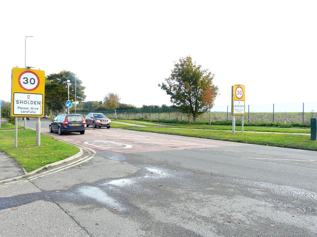
Image: © John Baker Taken: 23 Oct 2022
Planning permission has been approved by Dover District Council under application number DOV/21/00402 for an “outline application for the erection of up to 110 dwellings with associated parking and means of access (all matters reserved except for access)”. The land lies beyond the footpath on the right.
Images are licensed for reuse under creativecommons.org/licenses/by-sa/2.0
Image Location


Leaflet Map data © OpenStreetMap
Latitude
51.224199
Longitude
1.370081