Noah's Wood, Silverdale Country Park
Introduction
The photograph on this page of Noah's Wood, Silverdale Country Park by Jonathan Hutchins as part of the Geograph project.
The Geograph project started in 2005 with the aim of publishing, organising and preserving representative images for every square kilometre of Great Britain, Ireland and the Isle of Man.

There are currently over 7.5m images from over 14,400 individuals and you can help contribute to the project by visiting https://www.geograph.org.uk
Noah's Wood, Silverdale Country Park
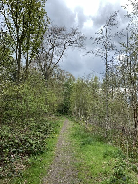
Image: © Jonathan Hutchins Taken: 30 Apr 2021
The designation 'Noah's Wood' appears to be of recent origin, but this is obviously by far the oldest piece of woodland in the Country Park, the rest of which was a coal mine.
Images are licensed for reuse under creativecommons.org/licenses/by-sa/2.0
Image Location
Latitude
53.018164
Longitude
-2.281844