Houses, Manthorpe Road, Grantham
Introduction
The photograph on this page of Houses, Manthorpe Road, Grantham by Jonathan Thacker as part of the Geograph project.
The Geograph project started in 2005 with the aim of publishing, organising and preserving representative images for every square kilometre of Great Britain, Ireland and the Isle of Man.

There are currently over 7.5m images from over 14,400 individuals and you can help contribute to the project by visiting https://www.geograph.org.uk
Houses, Manthorpe Road, Grantham
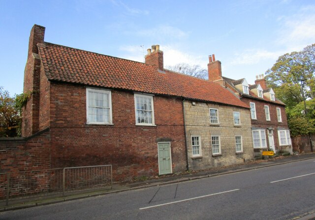
Image: © Jonathan Thacker Taken: 9 Nov 2022
On the left No 75 and 77 dating from the eighteenth century https://historicengland.org.uk/listing/the-list/list-entry/1062494?section=official-list-entry On the right Manthorpe Cottage also of the eighteenth century https://historicengland.org.uk/listing/the-list/list-entry/1261694?section=official-list-entry
Images are licensed for reuse under creativecommons.org/licenses/by-sa/2.0
Image Location
Latitude
52.918223
Longitude
-0.640298