Chapel Road, Potternewton
Introduction
The photograph on this page of Chapel Road, Potternewton by Richard Vince as part of the Geograph project.
The Geograph project started in 2005 with the aim of publishing, organising and preserving representative images for every square kilometre of Great Britain, Ireland and the Isle of Man.

There are currently over 7.5m images from over 14,400 individuals and you can help contribute to the project by visiting https://www.geograph.org.uk
Chapel Road, Potternewton
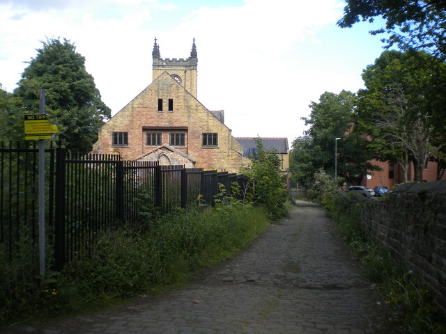
Image: © Richard Vince Taken: 28 May 2022
Looking towards Chapeltown Road. The former church on the left is in a state of at least partial dereliction, and appears to be being used by Sikhs, perhaps in connection with the gurdwara just across Chapeltown Road.
Images are licensed for reuse under creativecommons.org/licenses/by-sa/2.0
Image Location
Latitude
53.819817
Longitude
-1.532879