Hackbridge Community Garden
Introduction
The photograph on this page of Hackbridge Community Garden by Ian Capper as part of the Geograph project.
The Geograph project started in 2005 with the aim of publishing, organising and preserving representative images for every square kilometre of Great Britain, Ireland and the Isle of Man.

There are currently over 7.5m images from over 14,400 individuals and you can help contribute to the project by visiting https://www.geograph.org.uk
Hackbridge Community Garden
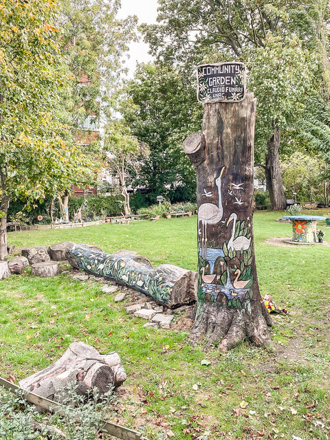
Image: © Ian Capper Taken: 7 Oct 2022
Garden off Nightingale Road alongside the River Wandle by the Hack Bridge created in 2016-8 by local artist Claudio Funari from what was previously an overgrown patch of ground.
Images are licensed for reuse under creativecommons.org/licenses/by-sa/2.0
Image Location
Latitude
51.376777
Longitude
-0.1599