The Maltings Worle
Introduction
The photograph on this page of The Maltings Worle by Ant Basterfield as part of the Geograph project.
The Geograph project started in 2005 with the aim of publishing, organising and preserving representative images for every square kilometre of Great Britain, Ireland and the Isle of Man.

There are currently over 7.5m images from over 14,400 individuals and you can help contribute to the project by visiting https://www.geograph.org.uk
The Maltings Worle
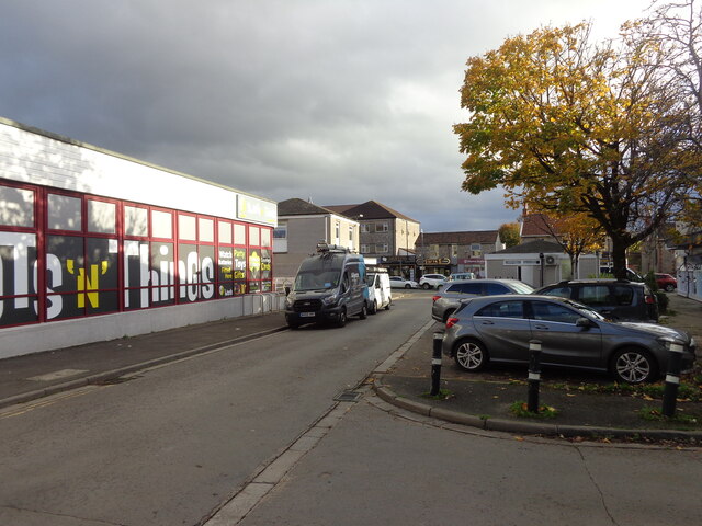
Image: © Ant Basterfield Taken: 11 Nov 2022
Looking down the Maltings, the building on the left which is now a sweets and card shop was our former library, unfortunately gone with the cutbacks that all Countys seem to suffer.
Images are licensed for reuse under creativecommons.org/licenses/by-sa/2.0
Image Location
Latitude
51.360778
Longitude
-2.926768