From the eastern Bank of the River Bure
Introduction
The photograph on this page of From the eastern Bank of the River Bure by Adrian S Pye as part of the Geograph project.
The Geograph project started in 2005 with the aim of publishing, organising and preserving representative images for every square kilometre of Great Britain, Ireland and the Isle of Man.

There are currently over 7.5m images from over 14,400 individuals and you can help contribute to the project by visiting https://www.geograph.org.uk
From the eastern Bank of the River Bure
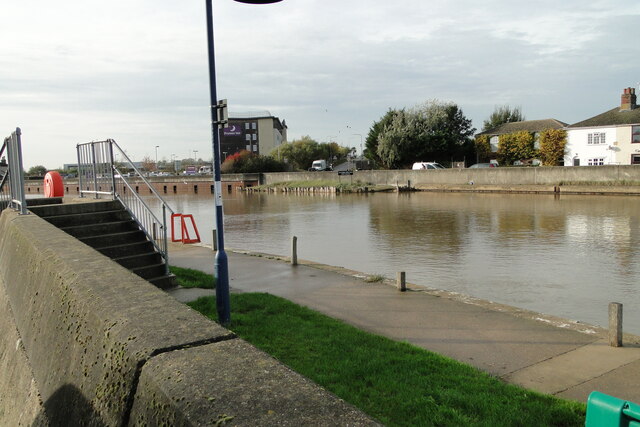
Image: © Adrian S Pye Taken: 29 Oct 2022
On the line of the former bridge the pilings on the opposite bank are the near the point where the bridge terminated. The bridge was elevated about 12 feet above the river bank allowing river traffic to pass beneath.
Images are licensed for reuse under creativecommons.org/licenses/by-sa/2.0
Image Location
Latitude
52.616464
Longitude
1.721252