River Wandle
Introduction
The photograph on this page of River Wandle by Ian Capper as part of the Geograph project.
The Geograph project started in 2005 with the aim of publishing, organising and preserving representative images for every square kilometre of Great Britain, Ireland and the Isle of Man.

There are currently over 7.5m images from over 14,400 individuals and you can help contribute to the project by visiting https://www.geograph.org.uk
River Wandle
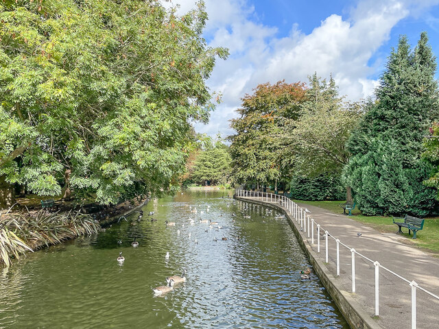
Image: © Ian Capper Taken: 7 Oct 2022
A branch of the River Wandle as it emerges from Carshalton Ponds and passes through The Grove Park. This section is alternatively known as the River Wrythe.
Images are licensed for reuse under creativecommons.org/licenses/by-sa/2.0
Image Location
Latitude
51.366155
Longitude
-0.163228