Beeches Avenue
Introduction
The photograph on this page of Beeches Avenue by Ian Capper as part of the Geograph project.
The Geograph project started in 2005 with the aim of publishing, organising and preserving representative images for every square kilometre of Great Britain, Ireland and the Isle of Man.

There are currently over 7.5m images from over 14,400 individuals and you can help contribute to the project by visiting https://www.geograph.org.uk
Beeches Avenue
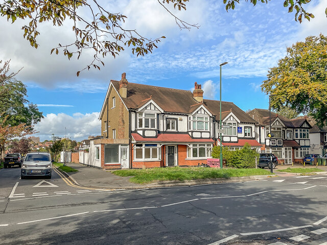
Image: © Ian Capper Taken: 7 Oct 2022
Edwardian houses in Beeches Avenue by its junction with Waverley Way (on the left of the photo). Beeches Avenue has seen various names over time: Beechnut Tree Road on the 1895 25 inch map, The Beeches on the 1915 map (when this section was first developed), The Beeches Avenue on the 1935 map and finally its current name, Beeches Avenue (without a "The") on current maps.
Images are licensed for reuse under creativecommons.org/licenses/by-sa/2.0
Image Location
Latitude
51.356658
Longitude
-0.170646