Church Lane
Introduction
The photograph on this page of Church Lane by John Baker as part of the Geograph project.
The Geograph project started in 2005 with the aim of publishing, organising and preserving representative images for every square kilometre of Great Britain, Ireland and the Isle of Man.

There are currently over 7.5m images from over 14,400 individuals and you can help contribute to the project by visiting https://www.geograph.org.uk
Church Lane
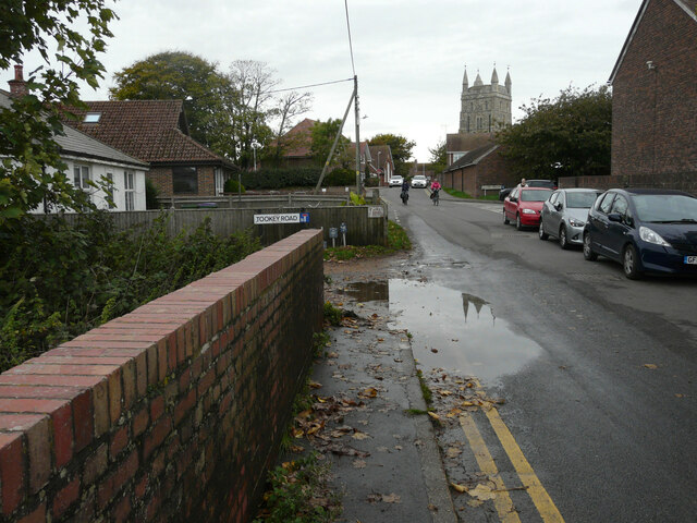
Image: © John Baker Taken: 16 Oct 2022
The brick wall was part of a bridge under which the New Romney Main Sewer flows. The large puddle indicated that rain had fallen recently. Two cyclists were making their way toward the camera with the tower of St Nicholas church behind them.
Images are licensed for reuse under creativecommons.org/licenses/by-sa/2.0
Image Location
Latitude
50.98437
Longitude
0.941401