China Corner, Honeybourne
Introduction
The photograph on this page of China Corner, Honeybourne by Derek Harper as part of the Geograph project.
The Geograph project started in 2005 with the aim of publishing, organising and preserving representative images for every square kilometre of Great Britain, Ireland and the Isle of Man.

There are currently over 7.5m images from over 14,400 individuals and you can help contribute to the project by visiting https://www.geograph.org.uk
China Corner, Honeybourne
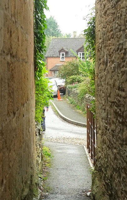
Image: © Derek Harper Taken: 14 Sep 2021
Honeybourne footpath 540(C) squeezes between two listed houses to emerge onto the cul-de-sac, with a gabled house ahead across the High Street.
Images are licensed for reuse under creativecommons.org/licenses/by-sa/2.0
Image Location


Leaflet Map data © OpenStreetMap
Latitude
52.09198
Longitude
-1.834435