Ford Airfield Industrial Estate
Introduction
The photograph on this page of Ford Airfield Industrial Estate by Simon Carey as part of the Geograph project.
The Geograph project started in 2005 with the aim of publishing, organising and preserving representative images for every square kilometre of Great Britain, Ireland and the Isle of Man.

There are currently over 7.5m images from over 14,400 individuals and you can help contribute to the project by visiting https://www.geograph.org.uk
Ford Airfield Industrial Estate
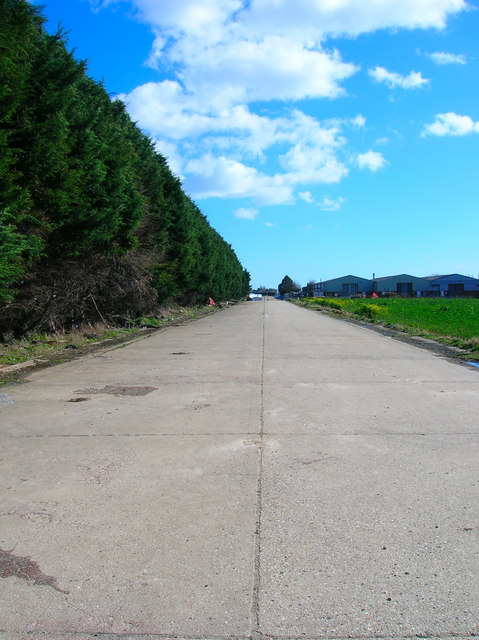
Image: © Simon Carey Taken: 21 Mar 2008
Former aircraft hangars now used as business premises. The road is a former taxiway for the north-south runway whilst the field to the right has been returned to agricultural use.
Images are licensed for reuse under creativecommons.org/licenses/by-sa/2.0
Image Location


Leaflet Map data © OpenStreetMap
Latitude
50.820092
Longitude
-0.597645