Lane across Penstrowed
Introduction
The photograph on this page of Lane across Penstrowed by John Gibson as part of the Geograph project.
The Geograph project started in 2005 with the aim of publishing, organising and preserving representative images for every square kilometre of Great Britain, Ireland and the Isle of Man.

There are currently over 7.5m images from over 14,400 individuals and you can help contribute to the project by visiting https://www.geograph.org.uk
Lane across Penstrowed
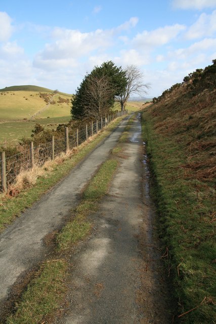
Image: © John Gibson Taken: 21 Mar 2008
This little-used and gated lane runs across the flank of Penstrowed Hill to descend via Maesmawr to the A489. At an elevation of around 300m, the hillsides are mainly given over to improved sheep pastures and were an area of early enclosures of moorland.
Images are licensed for reuse under creativecommons.org/licenses/by-sa/2.0
Image Location
Latitude
52.500965
Longitude
-3.391786