The site of the Gorleston Links Halt
Introduction
The photograph on this page of The site of the Gorleston Links Halt by Adrian S Pye as part of the Geograph project.
The Geograph project started in 2005 with the aim of publishing, organising and preserving representative images for every square kilometre of Great Britain, Ireland and the Isle of Man.

There are currently over 7.5m images from over 14,400 individuals and you can help contribute to the project by visiting https://www.geograph.org.uk
The site of the Gorleston Links Halt
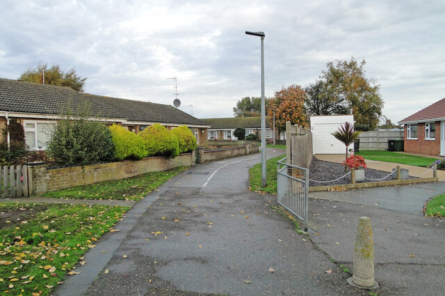
Image: © Adrian S Pye Taken: 27 Oct 2022
The halt was at the top of the embankment with steps leading down to ground level. Constructed and opened in 1914, for access to the golf club and course it was suspended 4 years later and a post war economy measure but reinstated shortly after as a result of the increasing number of holiday makers visiting the area. The area where the halt was situated has changed greatly in the years since its closure in 1970. Residential redevelopment led to the removal of the bridge and embankment, leaving no trace of the former halt. A halt was not a station with facilities, but a platform for passengers to board and alight by request.
Images are licensed for reuse under creativecommons.org/licenses/by-sa/2.0
Image Location
Latitude
52.557164
Longitude
1.725745