Flood defences on The Causeway, Romsey
Introduction
The photograph on this page of Flood defences on The Causeway, Romsey by David Martin as part of the Geograph project.
The Geograph project started in 2005 with the aim of publishing, organising and preserving representative images for every square kilometre of Great Britain, Ireland and the Isle of Man.

There are currently over 7.5m images from over 14,400 individuals and you can help contribute to the project by visiting https://www.geograph.org.uk
Flood defences on The Causeway, Romsey
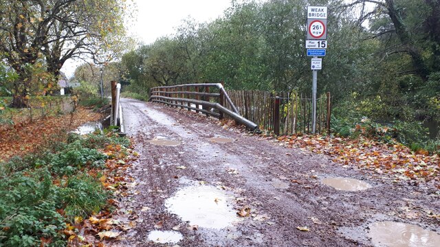
Image: © David Martin Taken: 7 Nov 2022
This bridge is part of a new flood alleviation scheme, opened July 2022, and permits floodwater to pass under The Causeway into the River Test. Compare Image at almost the same spot.
Images are licensed for reuse under creativecommons.org/licenses/by-sa/2.0
Image Location


Leaflet Map data © OpenStreetMap
Latitude
50.985557
Longitude
-1.505457