Old Milestone, A37, Wells Road Upper Knowle
Introduction
The photograph on this page of Old Milestone, A37, Wells Road Upper Knowle by Roadside Relics as part of the Geograph project.
The Geograph project started in 2005 with the aim of publishing, organising and preserving representative images for every square kilometre of Great Britain, Ireland and the Isle of Man.

There are currently over 7.5m images from over 14,400 individuals and you can help contribute to the project by visiting https://www.geograph.org.uk
Old Milestone, A37, Wells Road Upper Knowle
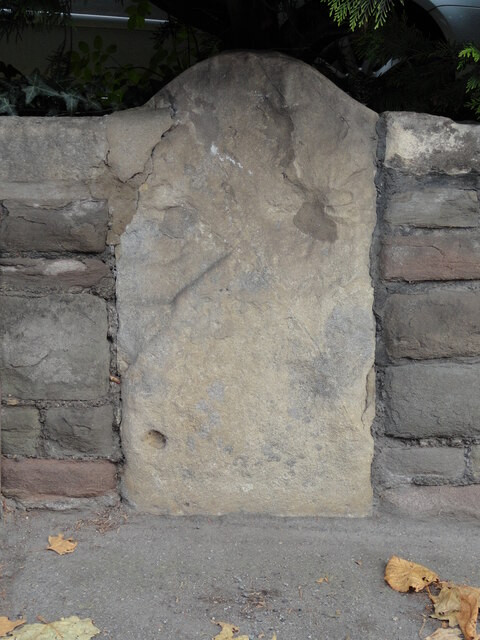
Image: © Roadside Relics Taken: 16 Nov 2021
The milestone is located outside no. 260, inset into the wall, on the north east side of the road. Parish of Bristol ( City of Bristol district). Stone post (plate lost), erected by the Bristol turnpike trust in the 19th century. Milestone Society National ID: SO_BRCT01
Images are licensed for reuse under creativecommons.org/licenses/by-sa/2.0
Image Location
Latitude
51.436336
Longitude
-2.568824