Old Toll House, Denshaw. A640
Introduction
The photograph on this page of Old Toll House, Denshaw. A640 by Nigel Upton as part of the Geograph project.
The Geograph project started in 2005 with the aim of publishing, organising and preserving representative images for every square kilometre of Great Britain, Ireland and the Isle of Man.

There are currently over 7.5m images from over 14,400 individuals and you can help contribute to the project by visiting https://www.geograph.org.uk
Old Toll House, Denshaw. A640
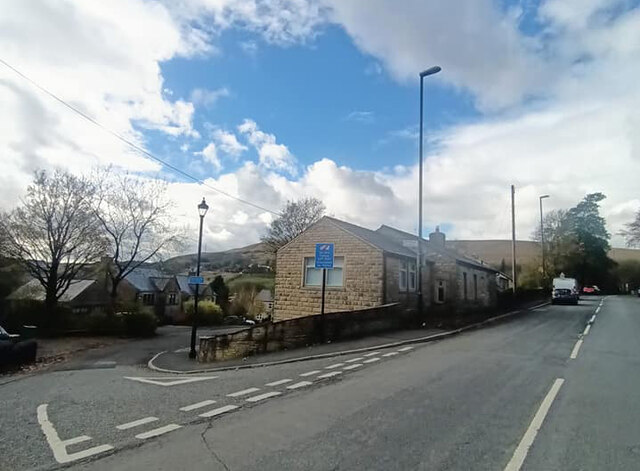
Image: © Nigel Upton Taken: 7 Nov 2022
On the corner of Huddersfield Road and Range Lane Saddleworth. Erected by the Huddersfield & New Hey Turnpike Trust in the 19ᵗʰ Century. The view from Range Lane is Image Milestone Society National ID: MA.SAD05
Images are licensed for reuse under creativecommons.org/licenses/by-sa/2.0
Image Location


Leaflet Map data © OpenStreetMap
Latitude
53.590723
Longitude
-2.037051