North up Strand Hill
Introduction
The photograph on this page of North up Strand Hill by Robin Stott as part of the Geograph project.
The Geograph project started in 2005 with the aim of publishing, organising and preserving representative images for every square kilometre of Great Britain, Ireland and the Isle of Man.

There are currently over 7.5m images from over 14,400 individuals and you can help contribute to the project by visiting https://www.geograph.org.uk
North up Strand Hill
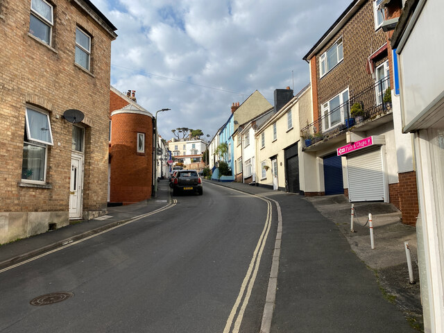
Image: © Robin Stott Taken: 20 Mar 2022
A late 19th-century map records this as Park Street.
Images are licensed for reuse under creativecommons.org/licenses/by-sa/2.0
Image Location
Latitude
50.581603
Longitude
-3.466627